Object Tracking
Cost-efficient and intelligent tracking system for real-time-monitoring
Our devices enable the identification and tracking of objects in coastal regions as well as in distant areas via VHF frequency and satellite.
 |
| 
- VHF based tracking
- Real-time monitoring and tracking
- Transmission of current GPS position
For more information and a non-binding offer, please contact us:
+49 (0)911-376638-30
[email protected]
Object Tracker

vmsTRACK-PRO-CS

VHF based Tracking
Real-time monitoring and location of ships and moving objects in a dedicated area using VHF technologies.
vmsIONEER

Tracking beacon with bidirectional SAT communication
Unlimited traceability, thanks to permanent tracking and monitoring of ships and other moving objects via VHF and satellite communication via Iridium® Satellite.
easyAIRDROP

VHF rescue beacon
Locate, mark, measure objects or people from a rescue helicopter or plane.
easyPOS’N’HOOK

Buoy tracking
Transmission of the current GPS position of a buoy on a customer-specific frequency
Information to Object Tracking
Marine Domain Awareness
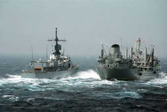
Tracking and Identifying will become the most important goal for national authorities in case of Marine Domain Awareness and Coastal Surveillance. From coastal differentiation between “Friend or Foe” to the monitoring of suspicious behaviour around cargo ships in front your coastal territory. In this way terror risks can be minimized.
The vmsTRACK is an intelligent tracking system that fulfills all requirements for naval border security.

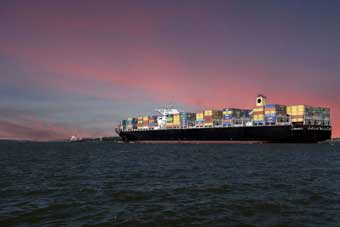
Satellite AIS
Hali is a Class B vessel tracking solution that ensures complete vessel visibility around the world. Hali combines terrestrial and satellite Automatic Identification System (AIS) data capability with two-way satellite M2M technology to deliver reliable vessel location data to maritime authorities, providing the actionable intelligence required to maximize maritime safety, security and compliance.
Made by Weatherdock – available through ORBCOMM
Local Area Tracking
By means of customized VHF frequencies, the onshore mission control center is able to create a “closed user group” of special vessels. In a pre-set time-interval sent position reports can be displayed by mission headquarter in real-time. In case of distress situation the vmsTRACK unit has got an “one-push-emergency-button” to trigger a regular AIS MOB distress message on every AIS receiver within range. Mission control as well as commercial vessel in the vicinity are able to assist with a fast rescue mission.
Long Range Tracking
on Demand
Monitoring of deep offshore territories when vessels are out of the regular range of the shore base station is getting more and more important for vessel management systems. But how to know where the vessels had been when the got “out of sight” before the vessel is back in the harbour? At best, you have the information about the route the ships have covered before they arrive back in port. The answer is “Long Range Tracking On Demand” with the vmsTRACK-PRO-CS with the patented solution “Request Message”. With the on-demand technology in vmsTRACK, recorded travel data from areas without a connection to the coast station can be transmitted as soon as the ship returns to the coverage of the base receiving station. The data are therefore already available before the ship is back in port.
Transmission on Demand it´s possible with the vmsTRACK units combined with a special customized base station receiving unit.
Object Tracking
Object tracking by vmsTRACK is the perfect “made in Germany” solution for intelligent, multi-featured real-time-tracking via VHF frequencies. Cost efficient and customized for your project requirements.

Video - vmsTRACK in action
The Swedish Sea Rescue Society trusts in Weatherdock
The VHF based personal locator beacon vmsTRACK is used on JetSki-Rescue-Missions
The Swedish Sea Rescue Society is unsing the personal locator unit vmsTRACK to monitor own crew member. These guys risk one’s life under heavy weather conditions when they are out on a rescue mission with a JetSki to safe lives at sea.
At timecode 0:05 you can see the locator beacon placed on the upper back of the Swedish Sea Rescue Society crew member.
We are pleased and proud to help and to support.
Application of the vmsTRACK in South Africa
The largest television company in South Africa SABC (South African Broadcasting Corporation) shows vmsTRACK in action
Local fishermen in South Africa use the vmsTRACK. The television company’s recordings show the real application of the Weatherdock tracking device
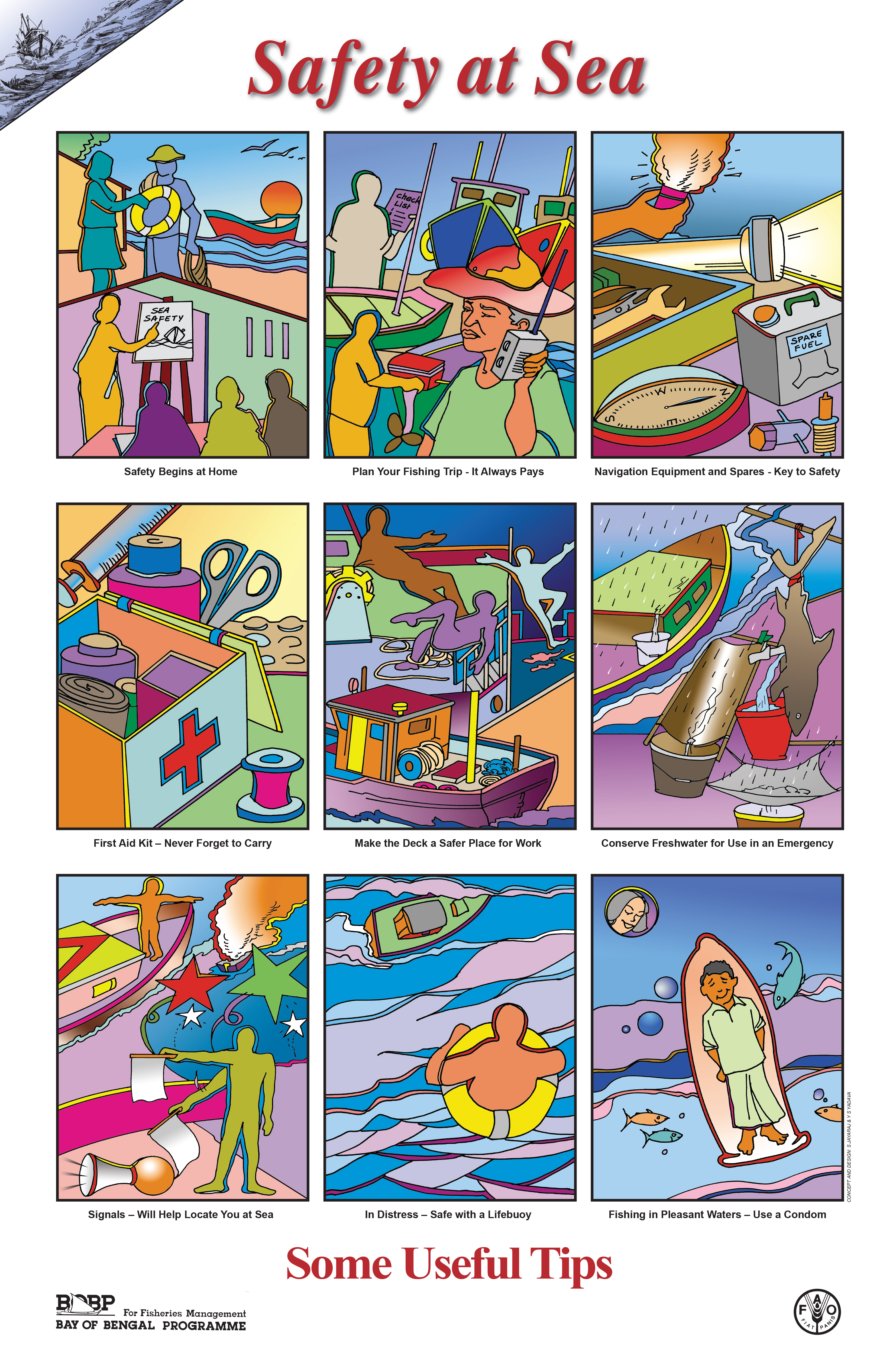
Rules for safety at sea
There are some important rules for the safety of fishermen at sea that should be considered to avoid accidents. If an emergency nevertheless occurs the vmsTRACK-PRO-CS with the alert function will help to finde and rescue someone.
Marine Domain Awareness & Coastal Surveillance
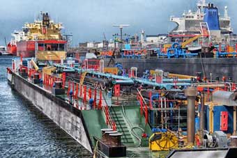
Maritime Assets are soft Targets Terrorists & pirates are more and more targeting locations or facilities considered too ‘soft’. As was evident in such attacks as the USS Cole, M/ V. Limburg & the tragic attacks of 26/11 in Mumbai. It is clear that “soft” targets have included attacks on Merchant & Naval ships, Coastal Tourist hotspots & hotels, Bridges, commercial shipping, oil & Transport critical infrastructure. Perils of pirate attacks is increasing by the day. All these attacks have been carried out using small crafts & fi shing vessels. Since these attacks, the importance of small craft/fishing vessel tracking has taken great importance & have highlighted the need for security on coastal borders. Terrorism today, is a worldwide Issue.
Who is front of your coast?
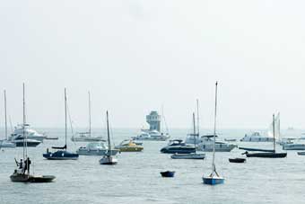
Security is a key word today and being ”on-line” with all borders and water front is essential for the new world order. The tracking of small crafts have for several years already, been an aim of authorities worldwide. No cost e effective fool proof solution has been found yet. A vessel or craft close to the coast is the immediate threat. Various technologies have been tried and apart from satellite tracking no other technology has succeeded. But then Satellite tracking is very expensive & position updates are inadequate for security. So is GSM which apart from being pricey is susceptible to network congestion and breakdowns. Inadequate reporting rates make tracking useless for security.
Why Class B is Not the Solution?
The most obvious step in tightening security is to have knowledge of the movements of all vessels along the coastline. Thus incorporating any tracking projects into the security agenda is important. For the IMO class vessels this is achieved with a Class A AIS. What about small boats, yachts, harbor crafts, towed barges, jet ski….. in general small crafts? Class B with CSTDMA is not suitable for various reasons. Most important being that high quality of class B targets will overload existing coast AIS networks. It should be kept in mind that all ships in vicinity would also see 1000’s of targets. With this magnitude of clutter it could become “hazard to navigation”. USCG cautions class B users are not seen by all.
vmsTRACK or vmsTRACK-PRO for MDA
vmsTRACK from Weatherdock is the world’s 1st purpose built tracking solution for fishing vessels & other small crafts with or without power. This is a result of over 15man-years that have been spent on listening to fishermen needs as well as homeland security requirements. The end result is a product that is robust, designed by experienced engineers and made in Germany. vmsTRACK helps bring small boats, leisure crafts & fishing vessels into a national Maritime Domain Awareness network.
vmsTRACK is an award winning TDMA based VHF radio unit that can work on programmable marine band frequency. Due to the nature of TDMA technology it allows several users to share the same frequency channel by dividing the signal into different timeslots. vmsTRACK has a unique capability of transmitting a SOLAS “Panic” alert as AIS MSG 14 which can also be received by any one carrying a Class A or B receiver or transponder.
vmsTRACK and vmsTRACk-PRO are
- Suitable for leisure boats, ski jets, harbor crafts etc
- A Coastal security & MDA application device
- Ideal for coastal fishing fleet tracking & Management
- A “Friend or Foe” (Pirate) identifying device”
- Useful to monitor movement of vehicles in a port
- An aid to Pilots and boarding parties
- A Radar less traffic monitoring system for small ports
- MDA software available for vmsTRACK
Key Features of vmsTRACK
- TDMA technology tested & Proved
- Smallest self contained device in the world
- Future proofed and tested for AIS satellite pickup
- Unique ID programmable for each unit
- Will work with existing AIS shore infrastructure
- Embedded geo reference coast line table
- Incremental tracking as it nears coast
- Buitl-in Emergency Distress button uses AIS MSG14
- Distress complies with SOLAS & received by all AIS
- Intelligent high tech tamper proof solution
- Water proof to 10m depth – IP 68
- LED flash for night navigation alert
- Integrated fast high sensitive GPS
- Palm size and easy portability in emergency
- Size 125mm x 68mm x 30mm, Weight 210 gms
- External Antenna option available on request
- Power Output approx 2 w – No Installation required
- Built in rechargeable battery for up to 120 Hrs
- Programmable to any Marine Frequency
Long Range Tracking on Demand
Monitoring of deep offshore territories when vessels are out of the regular range of the shore base station is getting more and more important for vessel management systems. But how to know where the vessels had been when the got “out of sight” before the vessel is back in the harbour? The answer is tracking on demand with the patent solution “Request Message”.
Radar-less traffic monitoring system
Within range of shore base station position report of the vessels is done regularly. If the vessel with the vmsTRACK unit aboard is out of this range, this will be recognized by the onshore administration network.
Satellite AIS
The Hali solution includes powerful, tamper-proof AIS Class B hardware that is attached to small vessels, such as pleasure craft and small fishing vessels, to track their location at all times, in any location. The tri-mode device transmits reliable AIS data to land-based receivers along coastlines to satellite AIS receivers and also through ORBCOMM’s proprietary two-way M2M data network of over 40 satellites, ensuring small vessels are always tracked and accounted for anywhere in the world. The Hali device also includes SOS functionality and can send a distress message instantly, providing accurate positional data to facilitate search and rescue operations.
 The cost-effective and reliable solution enables flag administrations, such as the Coast Guard, to improve search and rescue operations, enhance maritime domain awareness and increase surveillance of marine protected areas. For fisheries, Hali enables regulatory compliance through AIS reporting requirements for fishing quotas as well as geofencing within exclusion zones and mitigates risk and loss through increased safety and SOS alert capabilities.

The Weatherdock system allows persistent real-time locating and monitoring of vessels and moving objects in a special area via VHF technologies. By using customized frequencies, you can create “closed user groups” and display the position reports of the group members on the screen.
Initiatives to save our planet and create a sustainable future have had important implications for the marine transport and waterway sector, including the creation of restricted or limited entry zones. These special areas can be programmed into the unit. This is called “Geo-Fence-Functionality”.
The real-time-knowledge of “who and where?” is very important in administration of coastal fishing fleets, as well as in coastal boarder security issues. By transmission of special names and unit IDs, “friend or foe” identifying is possible.
