Deutsch  |
|
 |
| Vessels live
Vessels live with Google Earth
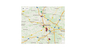
Here you can see vessel position data near by us (Erlangen / Nuremberg / Fuerth) which is received from the AIS network and which is integrated into the satellite images of Google Earth
The information is processed with minimal delay, thus you can see a ship pass by on Google Earth and in the real world simultaneously. The easyAIS is so accurate that the exact location and position of the ships in port are easily determined.
For each ship comprehensive additional information, such as speed, draught, course and correct direction is displayed.
Legende:
Green – Ship moving
Red – Ship not moving
More informations:
www.vesseltracker.com
Deutsch  |
|
 |
| 


